Origins
History of Chantilly
From streetcar expansion to floodplain buyouts — how these blocks came to look the way they do.
Origins
How Chantilly took shape
Charlotte's early twentieth-century growth followed its streetcar lines. Elizabeth developed first to the west, then the eastward push continued through what became Chantilly, Commonwealth, and Plaza Midwood — modest lots, sidewalks, and street trees planted with the expectation of a canopy that would arrive decades later.
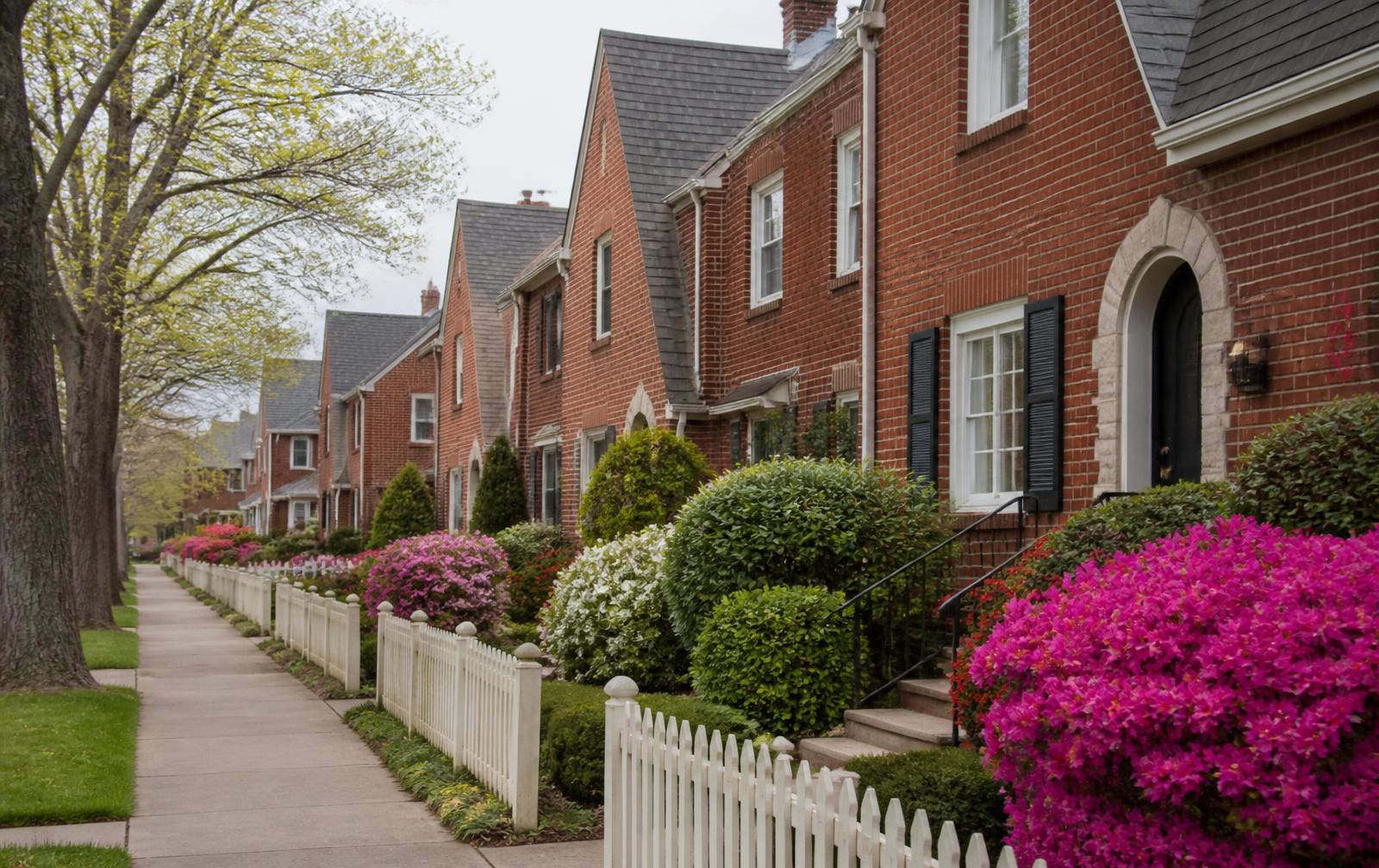
Construction ran in waves. Craftsman bungalows dominated the 1910s and 1920s. Tudor Revival cottages followed through the 1930s, their steep gables and arched entries now the neighborhood's signature. Post-war infill filled the remaining lots with Minimal Traditional and Colonial Revival houses.
Briar Creek shaped everything on the eastern side. For most of the century, development treated the floodplain as buildable, and the creek repeatedly proved otherwise. Mecklenburg County's floodplain buyout program eventually acquired the most exposed parcels, removed the houses, and returned the land to the water.
That decision produced the Chantilly Ecological Sanctuary — restored wetland where residential streets once ended in flood-prone lots. It is the clearest example in the neighborhood of a liability converted, deliberately and expensively, into an asset.
Timeline
From streetcar suburb to established neighborhood
1900s–1910s. Charlotte’s streetcar lines pushed east along Elizabeth and Central Avenues, opening farmland within reach of Uptown jobs. The first Chantilly-area lots were platted in this period and the earliest surviving houses date to the mid-1910s.
1920s. Craftsman bungalows filled the western blocks as Charlotte’s textile and banking economies expanded. Deep porches, exposed rafter tails and tapered columns date most of these houses to within a few years of each other.
1930s. Tudor Revival arrived — steep gables, arched entries, clinker-brick and slate-look rooflines — and gave the neighborhood the storybook character it is still known for. Construction slowed through the Depression but never stopped entirely.
1940s. Minimal Traditional and Colonial Revival infill closed the remaining gaps after the war, at smaller scale and simpler detail. By roughly 1950 the grid was essentially complete, which is why the neighborhood reads as one coherent period today.
1960s–1980s. Independence Boulevard’s conversion to a limited-access highway severed some southern connections, and repeated Briar Creek flooding damaged the lowest-lying blocks. Both events shaped the neighborhood’s present edges.
1990s–today. County floodplain buyouts converted the most flood-prone parcels to open space, the greenway was built along the creek, Chantilly Montessori became a sought-after magnet, and steady reinvestment restored much of the original housing stock.
Questions
Frequently asked
When was Chantilly built?
+
The bulk of the neighborhood was built between roughly 1915 and 1945, beginning with Craftsman bungalows and continuing through Tudor Revival cottages in the 1920s and 1930s, with Colonial Revival and Minimal Traditional infill after the war.
Why is it called Chantilly?
+
The name comes from the early-twentieth-century subdivision plats that carried the French place name, part of a common Charlotte practice of borrowing European names for new streetcar-era suburbs.
What role did the streetcar play?
+
Charlotte's eastward streetcar lines made the land developable for commuters, which is why the grid is tight, the lots are modest, and the houses face the street with porches rather than garages.
What happened along Briar Creek?
+
Repeated flooding through the twentieth century damaged homes closest to the creek. Federal and county buyout programs removed structures from the floodway over several decades, and the reclaimed land became greenway and ecological sanctuary.
Is Chantilly a designated historic district?
+
Chantilly is not a locally designated local historic district with a review commission in the way Dilworth or Fourth Ward are. Its character is protected mostly by lot size, existing stock, and owner practice, so verify any zoning or overlay question with the City of Charlotte.
Related reading