Green Space
Chantilly Ecological Sanctuary
The restored Briar Creek floodplain at Chantilly's eastern edge — how a chronic flooding problem became the neighborhood's most unusual amenity.
At a glance
The short answer
The Chantilly Ecological Sanctuary is restored floodplain along Briar Creek at the eastern boundary of the Chantilly neighborhood in east Charlotte. It is not a conventional park with ballfields and a signed lot. It is low ground that was once built on, repeatedly flooded, and eventually returned to the creek — now functioning simultaneously as flood storage, wildlife habitat, and neighborhood open space.
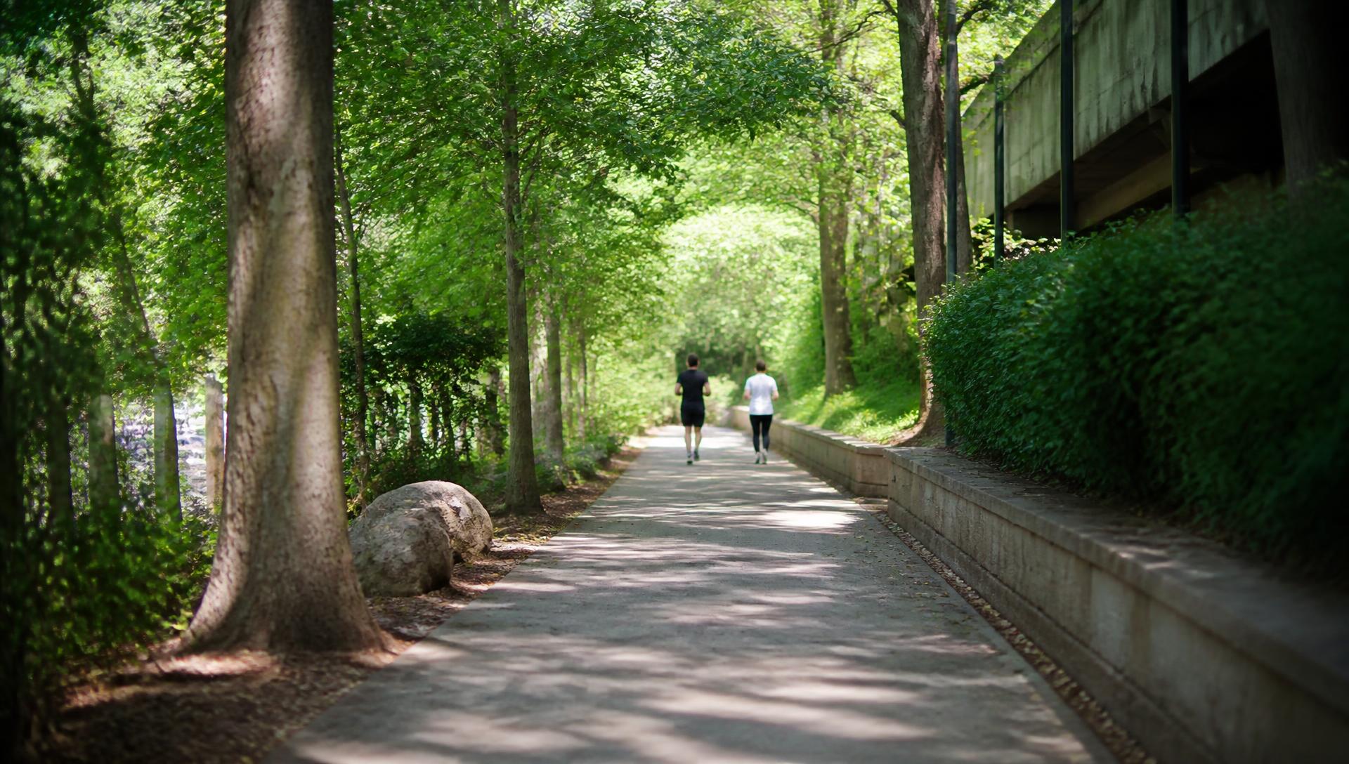
That origin explains almost everything about how the place feels. You reach it at the end of residential streets rather than through a gateway. The ground is soft in places and genuinely wet after heavy rain. The tree canopy is a mix of surviving mature hardwoods and younger restoration planting, and the bird life along the corridor is noticeably better than the surrounding blocks.
For residents, the practical effect is that Chantilly has an edge rather than a boundary street. Instead of the neighborhood terminating at an arterial, it fades into a creek corridor — which is a large part of why the eastern blocks feel quieter than their distance from Independence Boulevard would suggest.
| Type | Restored floodplain / wetland open space |
|---|---|
| Waterway | Briar Creek |
| Neighborhood | Chantilly, Charlotte, NC 28205 |
| County | Mecklenburg County, North Carolina |
| Origin | Flood-prone residential parcels removed from the floodplain |
| Typical use | Walking, wildlife and bird watching, neighborhood access to the creek corridor |
| Access | On foot from surrounding Chantilly streets; no large dedicated visitor lot |
| Verify before visiting | Current access, hours, and rules — Mecklenburg County Park and Recreation |
History
Why the houses went away
The sanctuary is a flood-mitigation outcome first and an ecological one second.
Briar Creek drains a large, heavily paved portion of central and east Charlotte. As the watershed upstream was developed through the twentieth century, more rainfall arrived in the channel faster, and the floodplain widened in practice even where it did not change on paper. Homes built on low ground near the creek — built in an era when that ground looked buildable — flooded, and then flooded again.
Charlotte-Mecklenburg's response along Briar Creek and other urban creeks has been to buy out the most repeatedly flooded structures rather than keep insuring and rebuilding them, then convert the land to open space that can hold water. Chantilly's eastern edge is one of the places where that policy is most visible: streets that once continued now end at grass, wetland, and trees.
If you want the wider context — how the creek shaped the neighborhood's development pattern, and what it means for buyers today — read the Briar Creek corridor guide and the Chantilly history page.
Using it
What it is like on the ground
Expect neighborhood open space, not a destination park.
Most visits are short and local: a loop from a Chantilly porch, a dog walk, a stop on the way to the greenway. Because the ground floods by design, surfaces vary from mown edges to soft, unimproved ground, and standing water is normal in the days after a storm. Boots are more useful than running shoes for much of the year.
The wildlife is the payoff. Restored wetland inside a dense urban watershed concentrates herons, kingfishers, woodpeckers, turtles, and a great deal of frog noise in spring. Early morning is the reliable window.
For longer walks and rides, the wider Briar Creek greenway network and the parks north and west of the neighborhood are the better target. Those are catalogued on the parks and trails directory, and the walking routes are described on the Chantilly walkability guide.
Note on accuracy: trail lengths, access points, hours, and permitted uses along county floodplain land change with maintenance and flood events. This page deliberately avoids publishing figures it cannot verify. Confirm details with Mecklenburg County Park and Recreation before relying on them.
Questions
Frequently asked
What is the Chantilly Ecological Sanctuary?
+
It is a restored floodplain and wetland area along Briar Creek at the eastern edge of the Chantilly neighborhood in Charlotte, North Carolina. The land was previously residential; after repeated flooding, flood-prone parcels were acquired and the ground was returned to the creek as open space and stormwater storage.
Where is the Chantilly Ecological Sanctuary located?
+
At the eastern edge of Chantilly in Charlotte's 28205 ZIP code, where the neighborhood street grid meets the Briar Creek corridor. Access is from the ends of neighborhood streets rather than from a large signed parking area.
Is there parking at the sanctuary?
+
There is no large dedicated visitor lot. Most people reach it on foot from surrounding Chantilly streets, which is part of why it functions more like neighborhood open space than a destination park. Confirm current access and parking with Mecklenburg County Park and Recreation before planning a visit.
Can you walk or hike in the sanctuary?
+
It is used for walking and wildlife watching along the creek corridor. Conditions vary with rainfall — this is an active floodplain, and low ground can be wet or impassable after storms. Check current conditions and posted rules on site.
Why was the land turned into a sanctuary instead of rebuilt?
+
Briar Creek's floodplain runs directly through the area. Rather than keep rebuilding homes that flooded, the flood-mitigation approach was to remove structures from the highest-risk ground and let the floodplain do its job. The ecological result — wetland habitat inside the urban core — followed from the flood-control decision.